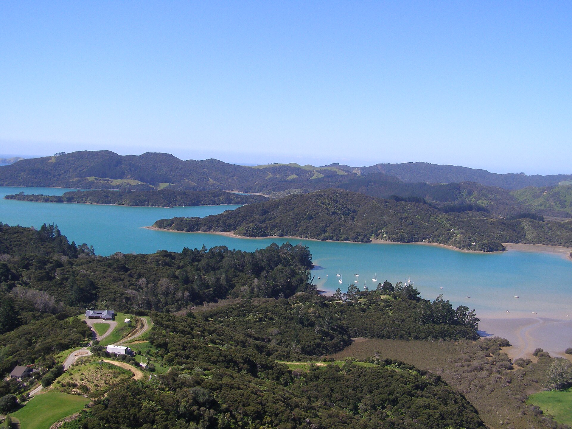
Whangaroa Harbour
Whangaroa Harbour, previously spelled Wangaroa Harbour, is an inlet on the northern coast of Northland, New Zealand. Whangaroa Bay and the Pacific Ocean are to the north. The small settlements of Totara North and Saies are on the west side of the harbour, Waitaruke on the south side, and Whangaroa on the east. State Highway 10 runs through Waitaruke. The name comes from the lament "Whaingaroa" or "what a long wait" of a woman whose warrior husband had left for a foray to the south. The harbour was formed when rising sea levels drowned a river valley about 6,000 years ago. Steep outcrops remain from ancient volcanic rocks.
Text from Wikipedia (CC BY-SA 4.0), shortened.
- Type
- pier
- Coordinates
- -35.0552, 173.7321
Got a better photo of Whangaroa Harbour?
Photographers & sailors welcome. Send us your shot and we'll add it here.