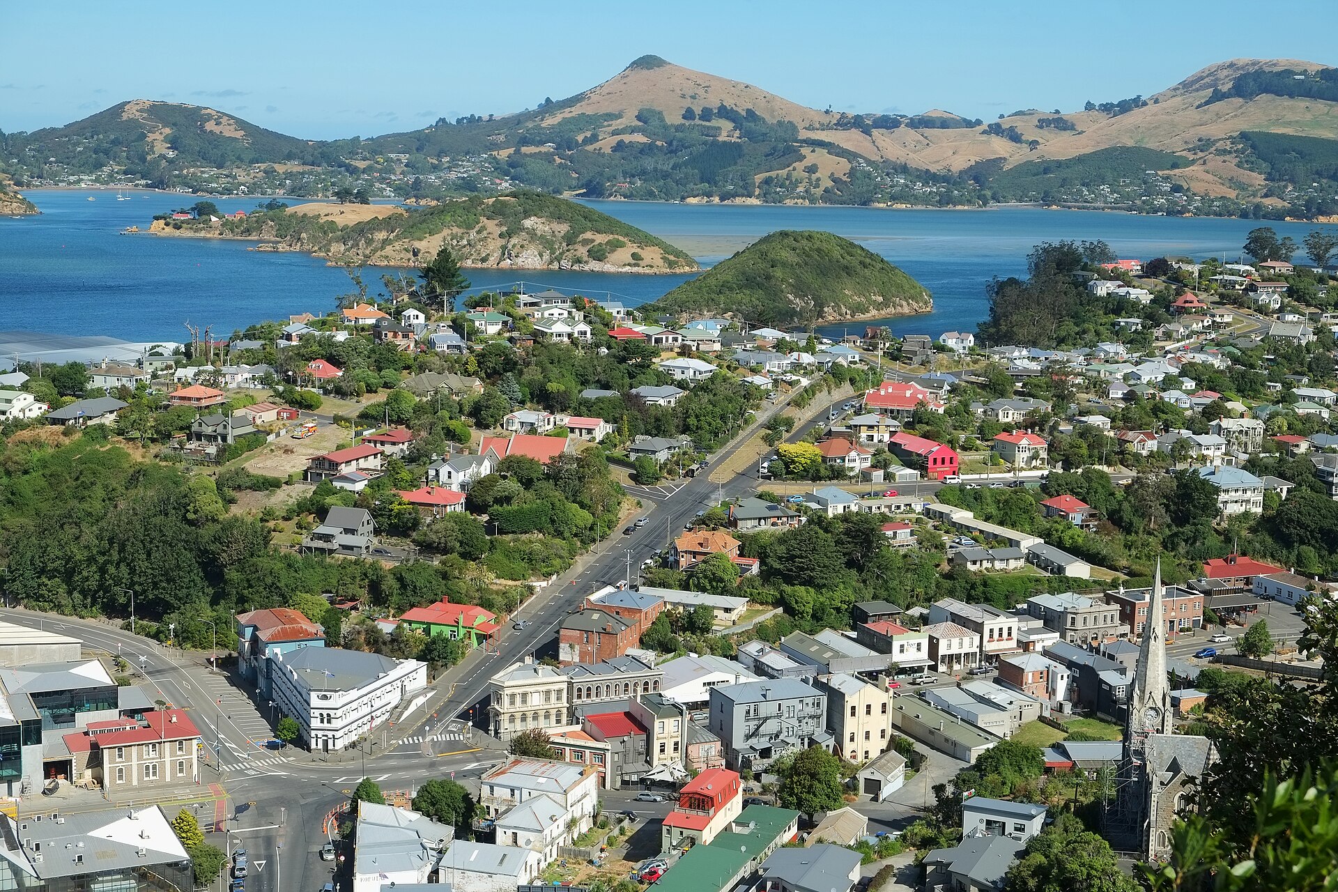
Otago Harbour
Otago Harbour is the natural harbour of Dunedin, New Zealand, consisting of a long, much-indented stretch of generally navigable water separating the Otago Peninsula from the mainland. The peninsula joins the mainland at its southwest end, 21 km (13 mi) from the harbour mouth. The harbour is home to Dunedin's two port facilities, Port Chalmers and at Dunedin's wharf. The harbour has been of significant economic importance for approximately 700 years, as a sheltered harbour and fishery, then deep water port. Geologically, the harbour was formed from the drowned remnants of the Dunedin Volcano.
Text from Wikipedia (CC BY-SA 4.0), shortened.
- Type
- pier
- Coordinates
- -45.8167, 170.6500
Got a better photo of Otago Harbour?
Photographers & sailors welcome. Send us your shot and we'll add it here.